
Control Measures
The Control Measures tab defines tactical reference points for battlefield coordination -- checkpoints, assembly areas, unit positions, and other named locations.
Categories
Control measures are organized into three categories. All categories share a single sequence range of 51--99.
- GC (General) — Location-based reference points: checkpoints, battle positions, assembly areas, FARPs, airfields, and similar landmarks.
- FC (Friendly) — Friendly unit positions by type: infantry, armor, aviation, artillery, engineers, medical, and other allied units.
- EC (Enemy) — Enemy unit positions by type: infantry, armor, aviation, artillery, air defense, and other hostile units.
Each category has its own set of two-letter identifiers that describe the point (e.g., CP for Checkpoint under GC, FI for Friendly Infantry under FC).
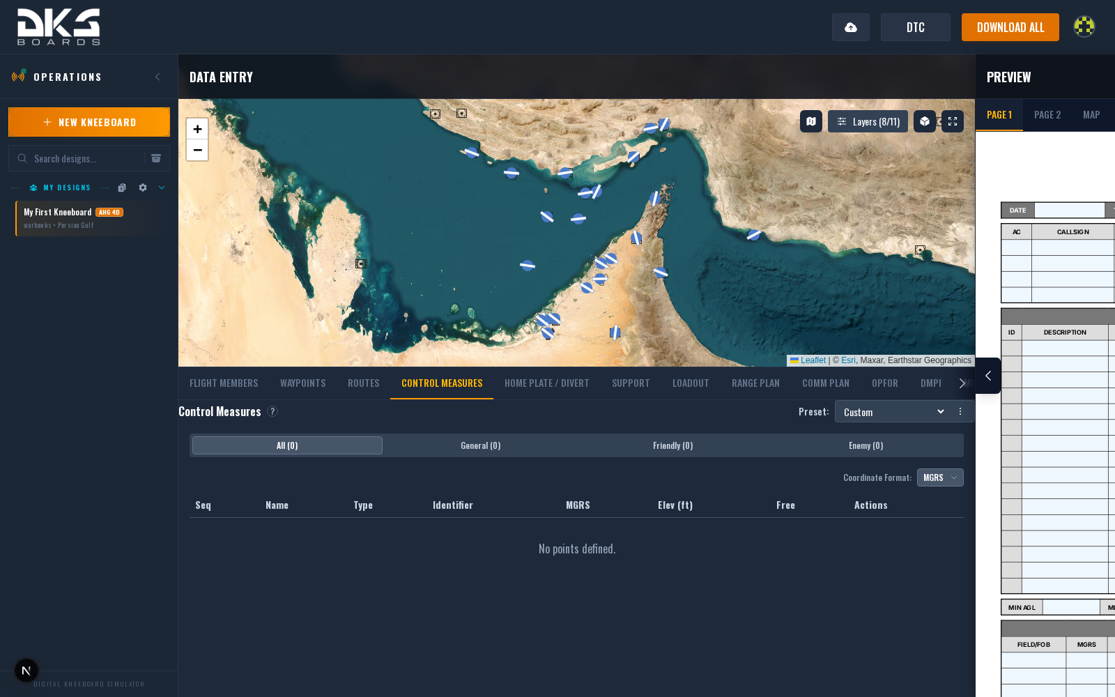
Control Measure Fields
Each control measure point has:
| Field | Description | Example |
|---|---|---|
| Sequence | Number within the shared 51-99 range. Must be unique across all categories. | 51 |
| Name | Point name, up to 10 characters. | GC51 |
| Position | Coordinates displayed as MGRS by default, or as Lat/Lng in DDM, DD, or DMS format. | 38T KM 12345 67890 |
| Elevation | Elevation in feet MSL. | 3400 |
| Identifier | Two-letter tactical symbol code from the category's identifier list. | CP |
| Free | 3-character custom field. | A1 |
Map Placement
To place a control measure on the map:
- Select a category tab (General, Friendly, or Enemy).
- Click the Add button.
- Click on the map at the desired location.
Each point appears on the map with its sequence number, identifier code, and category color:
- GC points appear in blue
- FC points appear in green
- EC points appear in red
Points can be repositioned by clicking the pin icon in the Actions column, then clicking a new location on the map. The eye icon toggles map visibility.
Coordinate Formats
Coordinates default to MGRS. Use the format selector to switch between MGRS, DDM, DD, and DMS.
Control measures appear on the exported kneeboard map page alongside threats and targets, providing a complete tactical picture.